
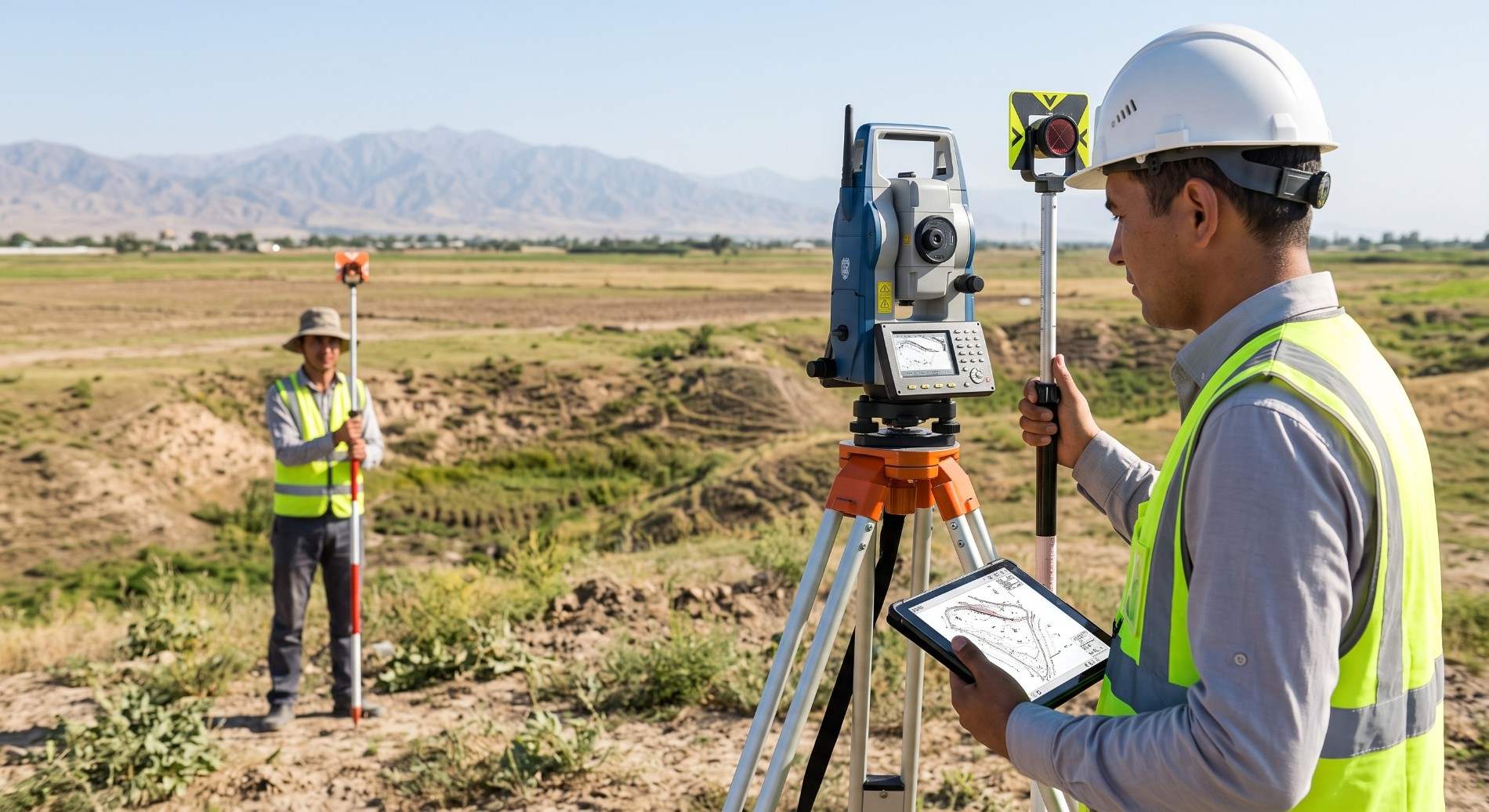
Topographic survey 1:500: A reliable foundation for design and construction
Every successful investment and construction project begins with a detailed and comprehensive study of the land plot. Whether it is the construction of modern residential complexes, large-scale industrial facilities, or the laying of complex engineering communications in Uzbekistan, the most in-demand geodetic service is the topographic survey 1:500. This specific scale is widely considered the “gold standard” among designers, architects, and civil engineers, as it provides the maximum necessary detail of the terrain and serves as a robust legal foundation for obtaining building permits and passing state expertise. GEO PRO, a leading provider of certified engineering and geodetic surveys, successfully executes these critical tasks in strict accordance with national and international building codes.
Ignoring the necessity of preliminary geodetic research inevitably leads to severe consequences during the later stages of development. Misplaced foundations, catastrophic damage to hidden underground utilities, or outright rejection by the State Expertise board are common outcomes of poor planning. A highly accurate topographic survey 1:500 completely eliminates such risks, providing the general designer with an up-to-date, mathematically precise digital picture of the site.
Why is the 1:500 scale chosen for master planning?
In geodetic practice, the scale determines the degree of detail and the level of precision with which objects are mapped. The 1:500 format means that exactly 1 centimeter on the printed drawing corresponds to 5 meters of actual terrain. Such high-resolution detailing allows engineers to map the area with centimeter-level accuracy, capturing:
- The exact contours, corners, and wall materials of all existing buildings, capital structures, and temporary facilities.
- Elements of the natural landscape, individual trees, green spaces, water bodies, elevation drops, and the boundaries of slopes.
- Hidden underground engineering networks, including high-voltage power cables, main gas pipelines, water supply, and sewage systems.
- Transport infrastructure components such as access roads, asphalt pavements, curbs, and connection points to public highways.
This highly detailed digital topographic plan serves as the primary basis for the development of the Master Plan (Genplan), vertical grading, and the seamless integration of the new facility into the existing urban or industrial environment. Without it, proper spatial planning is practically impossible.
In what cases is a topographic survey 1:500 strictly mandatory?
According to the urban planning legislation and building codes of the Republic of Uzbekistan, conducting these specific surveys is strictly prescribed in the following situations:
- Designing new construction projects: Ranging from multi-story residential blocks and commercial shopping centers to massive industrial plants and renewable energy facilities.
- Routing linear engineering networks: Tracing overhead power lines, water mains, heating networks, and high-pressure gas pipelines.
- Reconstruction and expansion of existing facilities: Erecting additional structural wings or modernizing the production capacities of a factory.
- Land management and cadastral procedures: Clarifying the actual boundaries of a land plot, privatization processes, and commissioning a completed facility (as-built surveys).
Applied equipment: How is millimeter accuracy achieved?
A high-quality topographic survey 1:500 simply cannot be performed using outdated optical instruments. The specialists at GEO PRO utilize a modern hardware and software complex that guarantees reference accuracy for all field measurements. To determine the horizontal and vertical coordinates of control points, multi-frequency satellite GNSS receivers are deployed, operating in Real-Time Kinematic (RTK) mode. In areas with dense urban development, thick forest canopies, or limited satellite visibility, high-precision Leica electronic total stations equipped with long-range reflectorless distance meters are used.
Special attention is always given to the underground space. Using professional Radiodetection locators and transmitters, our engineers accurately determine the horizontal position and burial depth of metallic pipes and live electrical cables without any destructive soil excavation. This crucial step prevents life-threatening accidents and financial liabilities during subsequent earthworks and excavation phases.
Compliance with SHNK standards and passing State Expertise
The results of geodetic surveys only carry legal weight if they are executed in strict compliance with the regulatory building codes and state standards, particularly the local SHNK 1.02.07-15 (“Engineering surveys for construction”). Documentation prepared by uncertified personnel or violating these stringent regulations will inevitably be rejected by the urban planning expertise board.
GEO PRO does not just hand over a flat paper drawing. We deliver a comprehensive 3D Digital Elevation Model (DEM) to the client, fully coordinated with local utility operating services. These digital files are fully prepared for direct integration into modern CAD and BIM (Building Information Modeling) systems, such as Autodesk AutoCAD Civil 3D and Credo, streamlining the workflow for the entire design team.
Practical benefits and financial savings for investors and developers
Attempting to save money on pre-project engineering surveys frequently results in multimillion-dollar losses during the active construction phase. An unaccounted elevation drop or an error in terrain marks leads to massive overexpenditure of concrete when laying the foundation, or incorrect calculations of earthwork volumes in the foundation pit. A professionally executed topographic survey 1:500 pays for itself within the very first weeks of design. It provides the developer with absolute financial security, transparency of the construction process, and guarantees the unhindered commissioning of the facility in Tashkent and across all regions of Uzbekistan. Trusting professionals with your geodetic data is the most reliable investment in your project’s future.