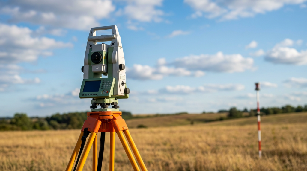
Topographic survey
A site plan for construction, cadastre and commissioning. Deliverables — a plan in PDF/DWG, a 3D model in AutoCAD and a technical…

A site plan for construction, cadastre and commissioning. Deliverables — a plan in PDF/DWG, a 3D model in AutoCAD and a technical…
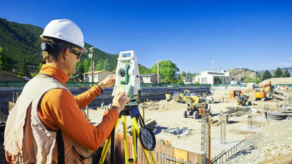
We transfer design points, axes and boundaries from the drawing to the ground and fix them with markers. Deliverable — a setting-out…
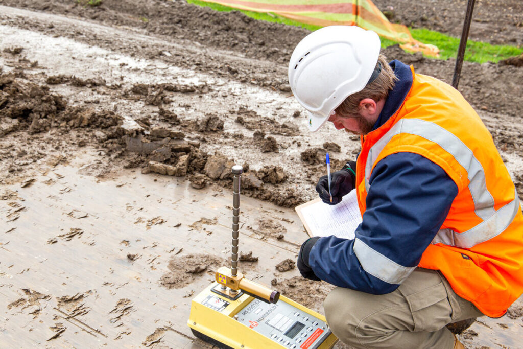
We locate underground networks and their depth with a cable locator and plot them on the plan. Protects cables and pipes from…
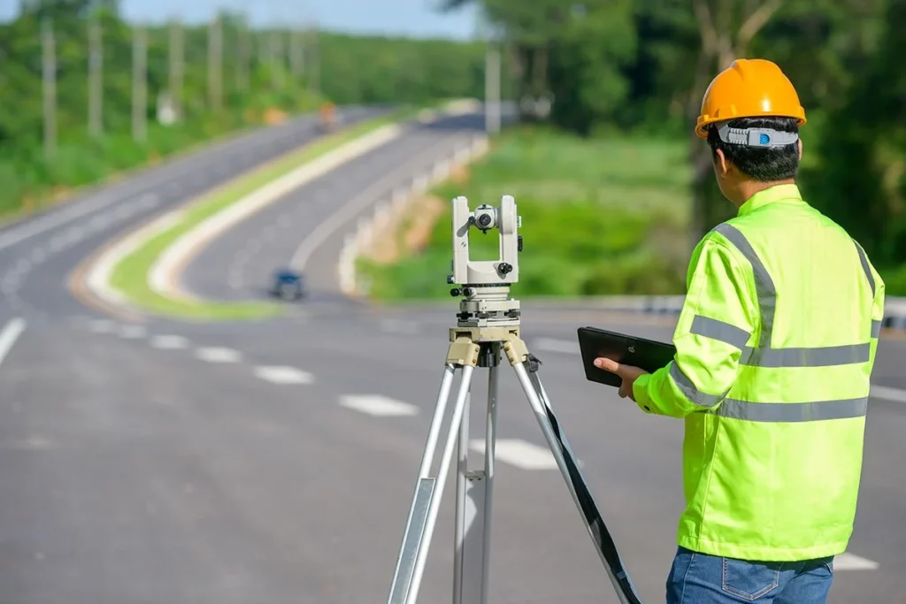
We find and trace hidden cables and pipelines, determining depth and the exact position of the route. Required before excavation, repair or…
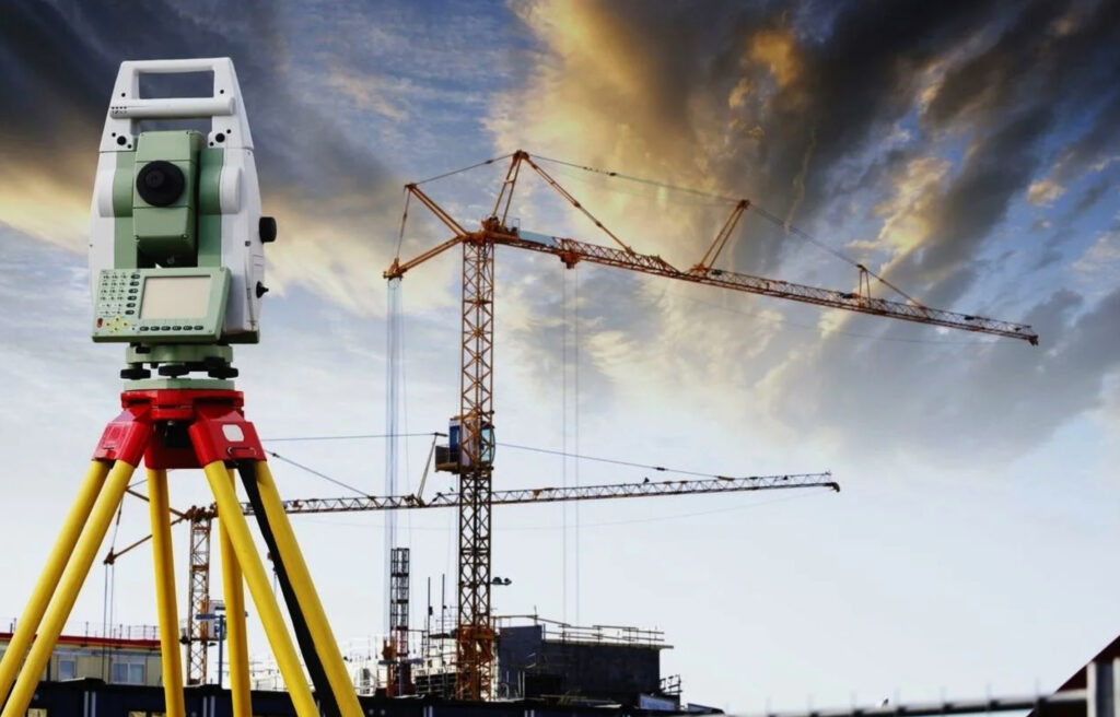
We set out and fix building axes for the foundation, establish the layout network and batter boards. Correct geometry from day one…

Cyclic observation of settlement, tilt and deformation of buildings and structures. Shows the trend and supports safety decisions with evidence.

Geodetic support for dividing, merging and redistributing plots: survey, area calculation, a boundary plan and setting out the new boundaries.
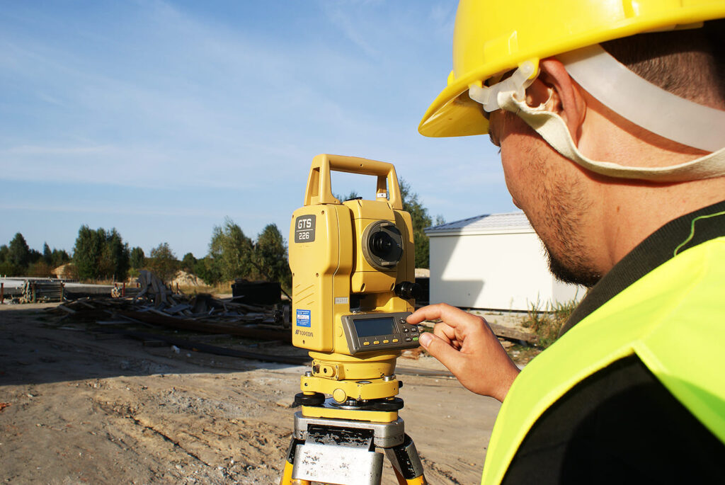
Planimetric and height survey with total station and GNSS: control network, coordinates, elevations. The basis for design, cadastre and construction control.
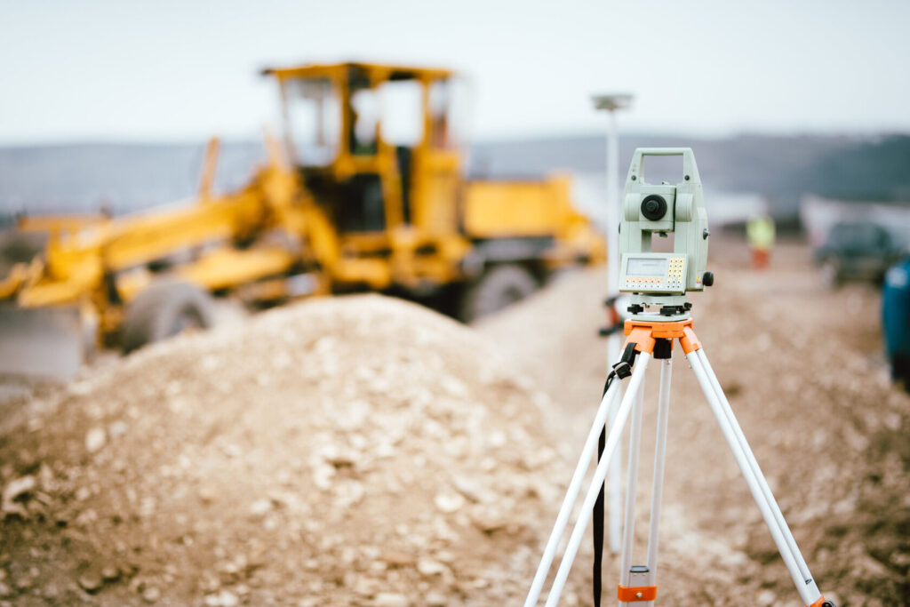
We calculate cut and fill volumes from before/after surveys. Gives a verifiable figure for interim certificates, contractor disputes and haulage control.
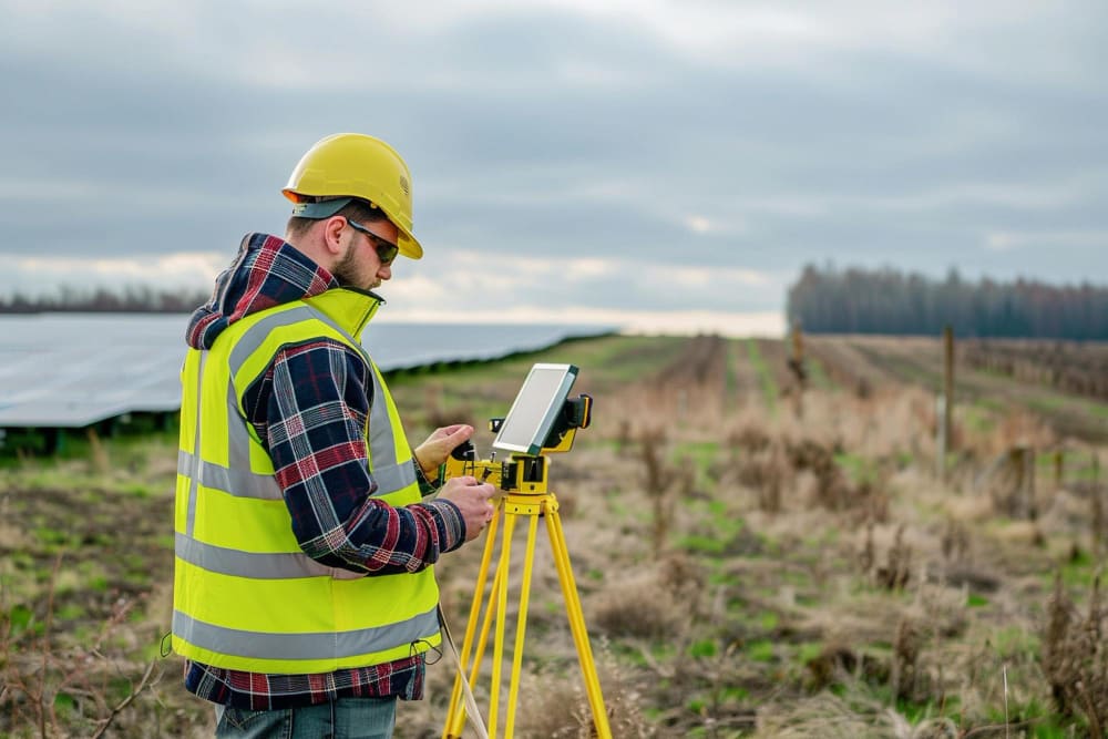
Depth sounding and bed relief survey of water bodies with GNSS-referenced echo sounder. Needed for volume, siltation, dredging and water crossings.
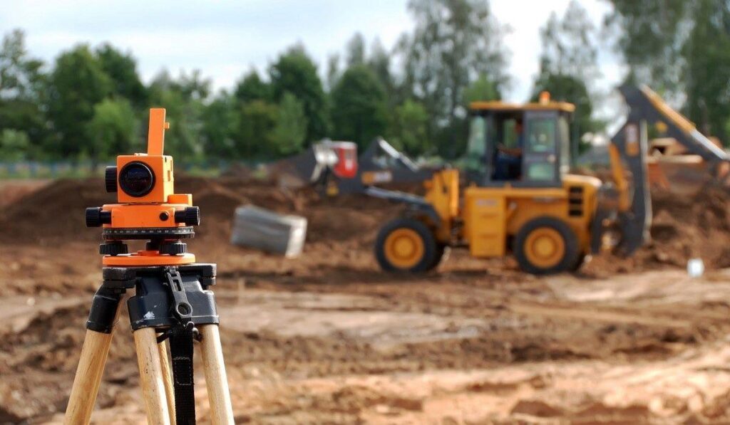
A full cycle of field and desk work: precise site coordinates, topographic plans, setting-out, GPS survey and construction monitoring. Modern total stations…