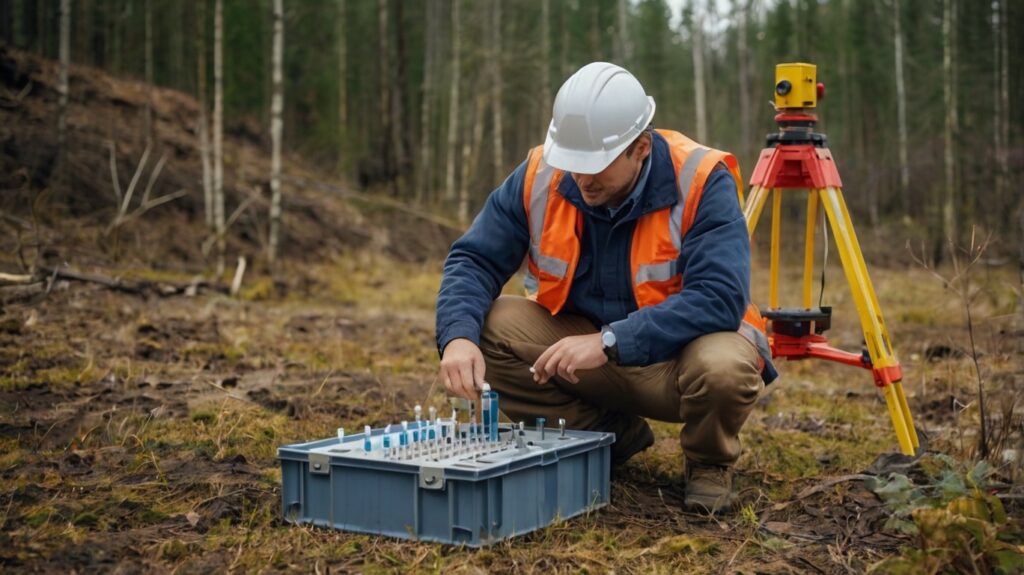
EIS — environmental impact statement
Analysis of the environmental situation on site: soil, air, water and radiation background. Preparation of EIA/EIS, emission and discharge permits, and an…

The full range of GEO PRO engineering surveys and design works — from topographic survey to the design of high-hazard facilities. Choose a discipline or open a service to see the scope, deliverables and request an estimate.
Analysis of the environmental situation on site: soil, air, water and radiation background. Preparation of EIA/EIS, emission and discharge permits, and an…

The final environmental document of a project: confirms that the impact is acceptable and sets out environmental protection commitments.
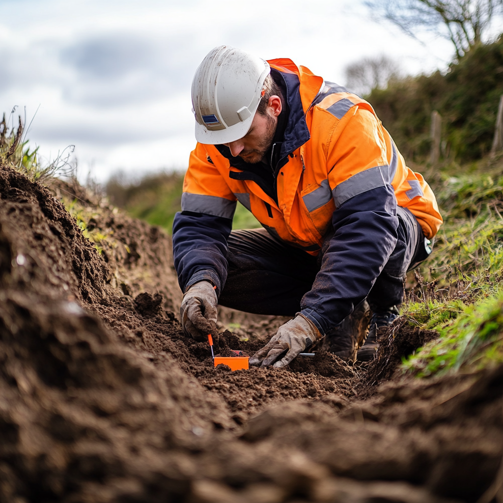
We calculate waste generation norms and disposal limits, classify waste by hazard class and prepare the permitting document.

Inventory of emission sources, atmospheric dispersion modelling and justification of emission limits to obtain a permit.
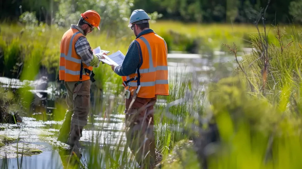
Setting limits for wastewater discharge to water bodies and sewers: permissible concentrations and volumes, and justification of the limits.
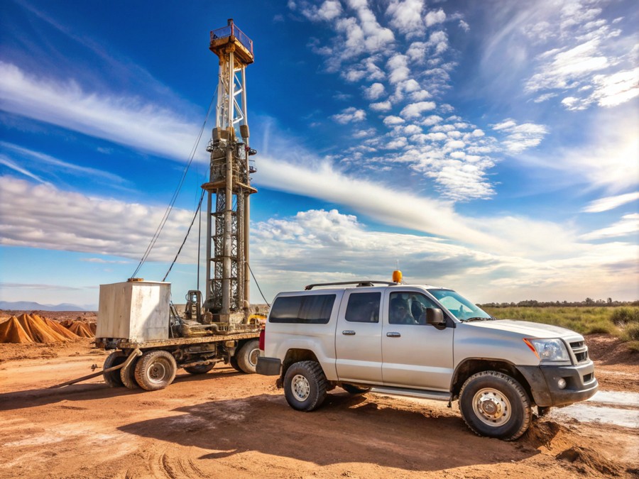
Study of soil composition and properties: field and laboratory analysis, sampling, and a forecast of changes in the site's geo-environmental conditions.

Prospecting, appraisal and exploration of deposits in several stages. Geological records, resource estimation and support with mining licensing.
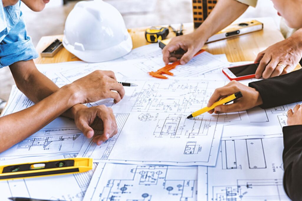
We justify project viability: options, volumes, cost, schedule and payback. A document for the investor, the bank and state expert review.
A high-level estimate of cost and parameters at an early stage, before a design exists. Faster and cheaper than a full feasibility…
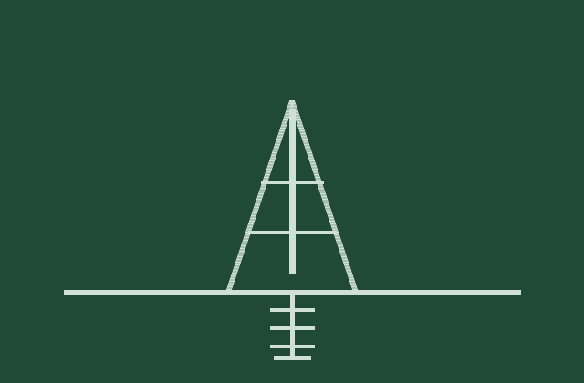
We study groundwater level, regime and chemistry, assess aggressiveness to concrete and steel, and the risk of flooding.
Engineering geological surveys represent an indispensable set of field, laboratory, and analytical investigations designed to comprehensively evaluate subsurface soil stratigraphy, physical-mechanical ground…
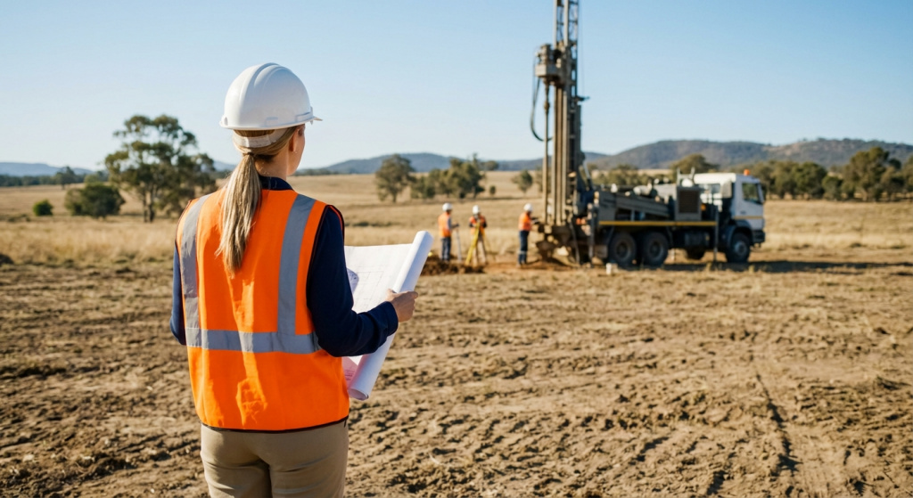
Geotechnical borehole drilling represents the cornerstone of preliminary site investigations, providing crucial empirical data regarding subsurface lithological stratification, soil physical-mechanical properties, and…

Physical, physico-mechanical and chemical soil properties to GOST. Groundwater and water-extract analysis.
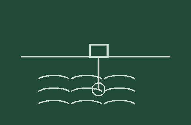
Hydrogeological investigations are an indispensable component of comprehensive pre-design site surveys, focusing on the rigorous evaluation of aquifer horizons, groundwater dynamics, and…

Geophysical surveys represent a high-precision, non-destructive methodology within preliminary geotechnical investigations, enabling in-depth evaluation of subsurface stratigraphy, spatial soil heterogeneity, and physical-mechanical…
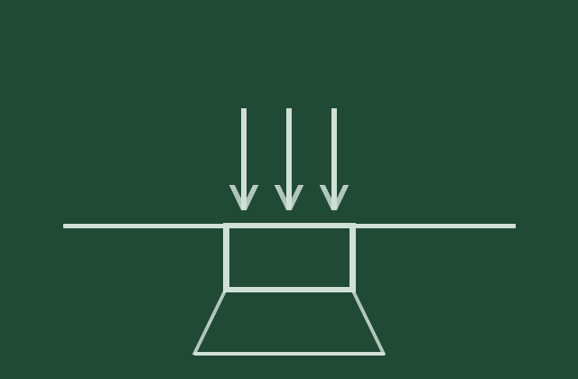
Geotechnical calculations represent a pivotal analytical phase in the engineering design of foundations and underground structures, providing high-precision evaluations of the interactive…

An engineering geological report is the definitive scientific and technical document of preliminary geotechnical investigations, synthesizing the complete results of exploratory drilling,…
Hazardous geological processes encompass a spectrum of natural and anthropogenic phenomena capable of destabilizing ground massifs, causing severe damage to structural foundations,…

Engineering geological support represents a continuous, highly specialized complex of expert-control, field, and analytical procedures aimed at confirming the absolute compliance of…
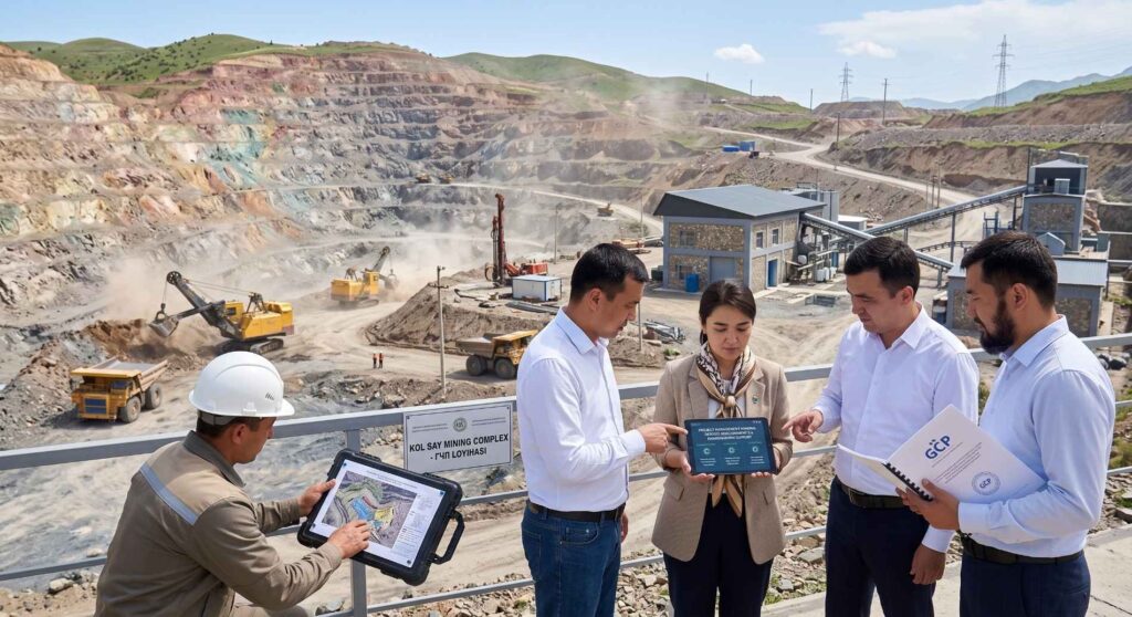
Professional and continuous mineral deposit development support is the core foundation for economic profitability and operational safety in the modern extractive sector.…
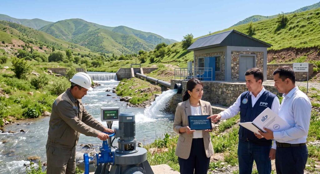
Large-scale and highly cost-effective micro-HPP construction under PPP (Public-Private Partnership) in Uzbekistan represents one of the key strategic directions in the development…
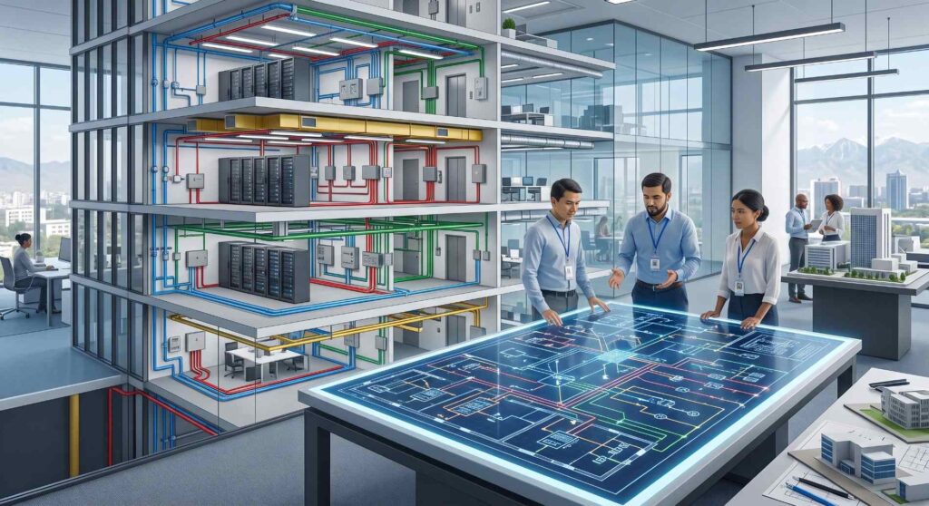
Professional design of internal utility networks is the fundamental basis for the longevity, safety, and operational efficiency of any modern building or…
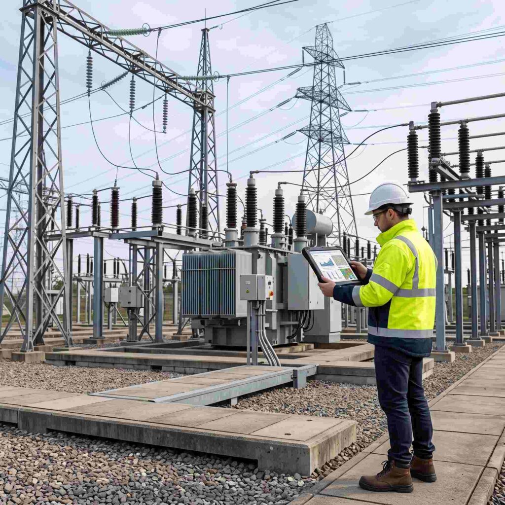
Modern industrial facilities, commercial complexes, and urban residential developments depend heavily on stable, high-capacity, and uninterrupted energy infrastructure. Prior to the commencement…
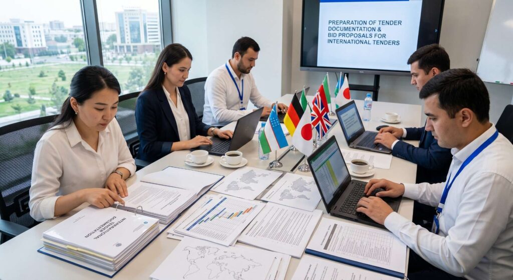
Comprehensive and legally compliant tender documentation preparation is a decisive factor in securing wins across high-stakes public, municipal, and corporate bidding procedures.…

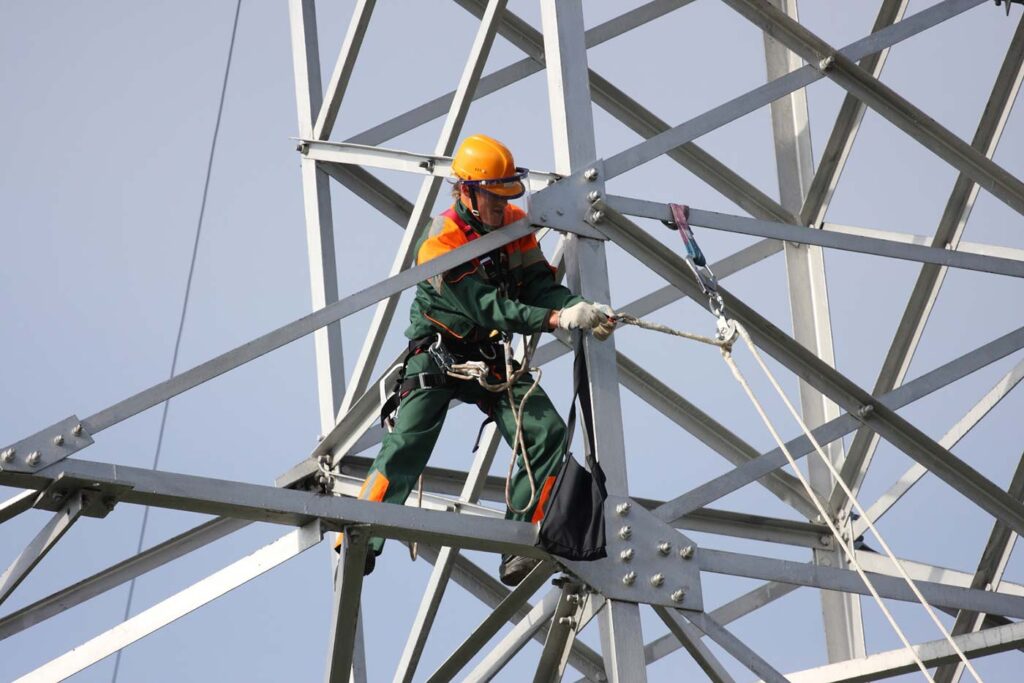
Design of overhead and cable power lines rated 0.4–500 kV: route, towers and crossings, cable sections, documentation for expert review.
Design and survey works for linear oil and gas transport facilities: route, crossings, nodes and design documentation for expert review.
Design of water intakes, pumping stations, canals, conduits and hydraulic structures — with surveys and regime calculations.
Design of off-site water, sewerage, heating and gas networks: routing, calculations, nodes and approvals.
Design of high-hazard facilities with industrial safety sections, declarations and risk calculations. Delivered under licence.
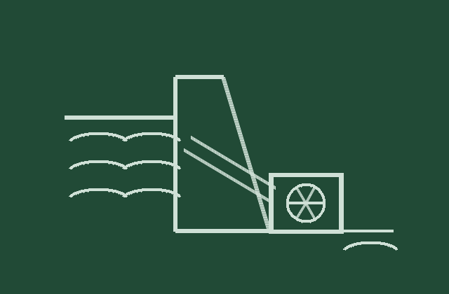
Design of small hydropower plants rated up to 30 MW and above 30 MW: hydrology, intake and pressure structures, powerhouse, documentation for…

Design of thermal power plants and steam boilers rated up to 30 MW: heat cycle, boiler and turbine equipment, documentation for expert…
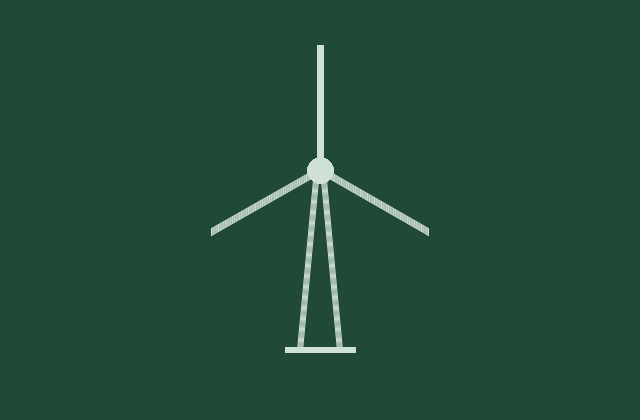
Design of wind power plants rated up to 30 MW and above 30 MW: wind analysis, turbine layout, foundations, grid connection scheme…
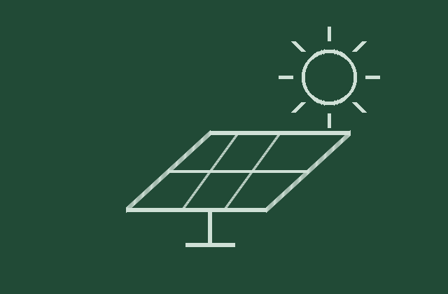
Design of photovoltaic plants rated up to 30 MW and above 30 MW: yield calculations, array layout, inverter equipment, grid connection scheme…
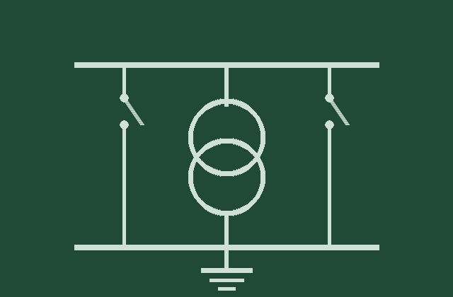
Design of substations and switchgear rated 0.4–500 kV: open and indoor switchgear, distribution points, transformer points and switchgear assemblies.
Construction of small hydropower plants rated up to 30 MW and above 30 MW: site preparation, hydraulic structures, equipment installation, commissioning and…
Construction of thermal plants and steam boilers rated up to 30 MW and above 30 MW: main building, boiler and turbine installation,…
Construction of wind power plants rated above 30 MW: access roads and pads, foundations, turbine erection, networks and commissioning.
Construction of photovoltaic plants rated above 30 MW: field preparation, support structures, module and inverter installation, commissioning.
Construction of 0.4–500 kV cable and overhead lines and electrical installations: switchgear, substations, distribution and transformer points. Installation, testing, handover.
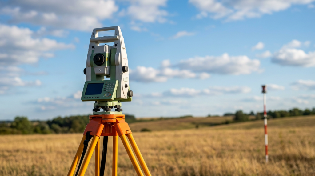
A site plan for construction, cadastre and commissioning. Deliverables — a plan in PDF/DWG, a 3D model in AutoCAD and a technical…
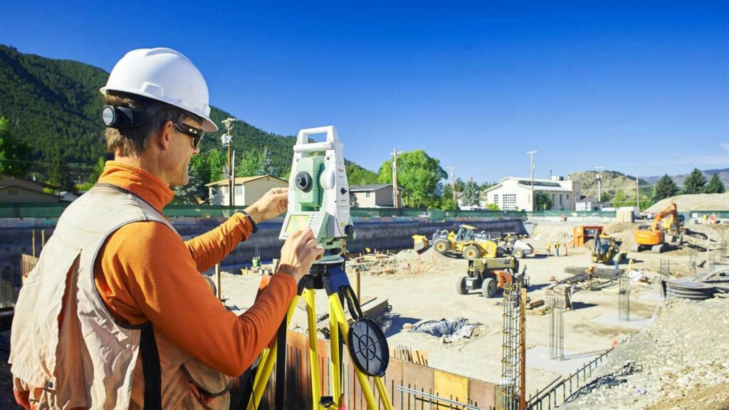
We transfer design points, axes and boundaries from the drawing to the ground and fix them with markers. Deliverable — a setting-out…
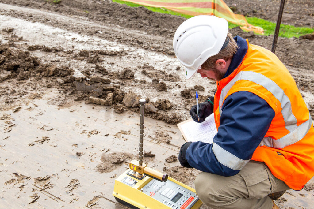
We locate underground networks and their depth with a cable locator and plot them on the plan. Protects cables and pipes from…
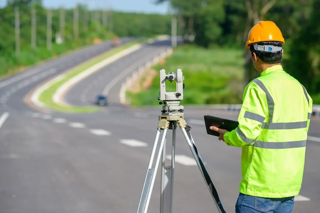
We find and trace hidden cables and pipelines, determining depth and the exact position of the route. Required before excavation, repair or…
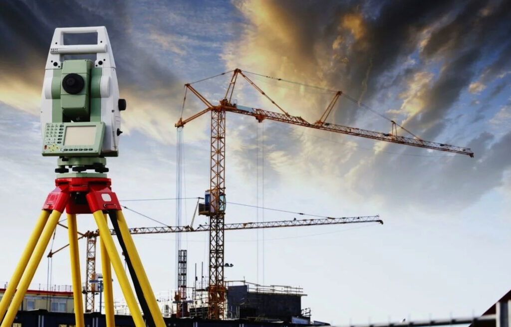
We set out and fix building axes for the foundation, establish the layout network and batter boards. Correct geometry from day one…

Cyclic observation of settlement, tilt and deformation of buildings and structures. Shows the trend and supports safety decisions with evidence.

Geodetic support for dividing, merging and redistributing plots: survey, area calculation, a boundary plan and setting out the new boundaries.
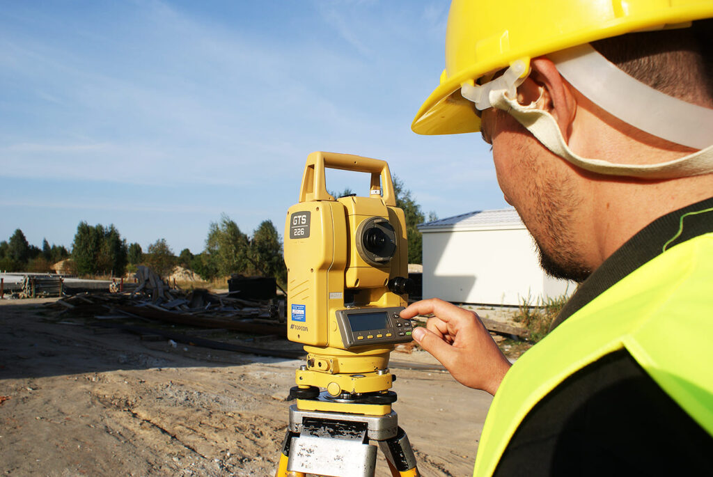
Planimetric and height survey with total station and GNSS: control network, coordinates, elevations. The basis for design, cadastre and construction control.
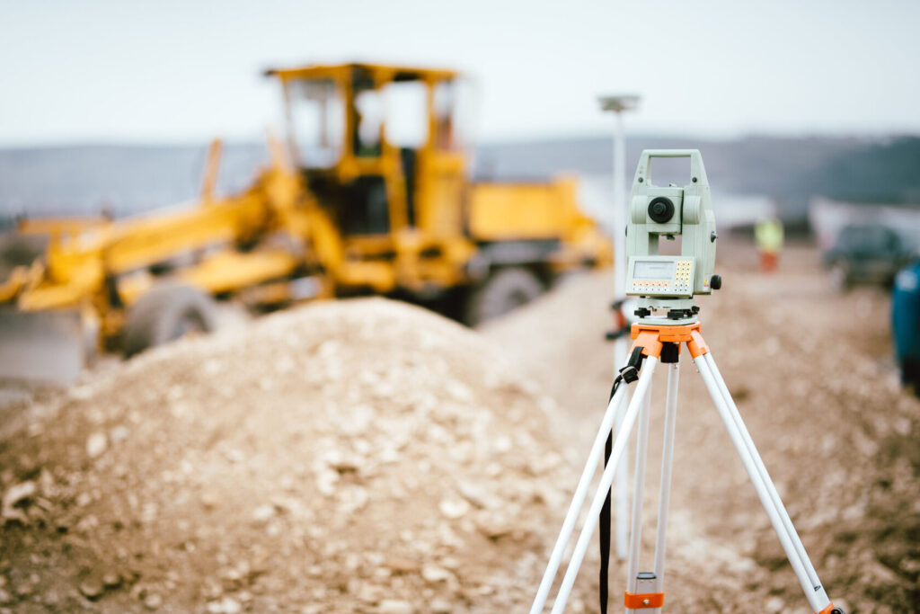
We calculate cut and fill volumes from before/after surveys. Gives a verifiable figure for interim certificates, contractor disputes and haulage control.
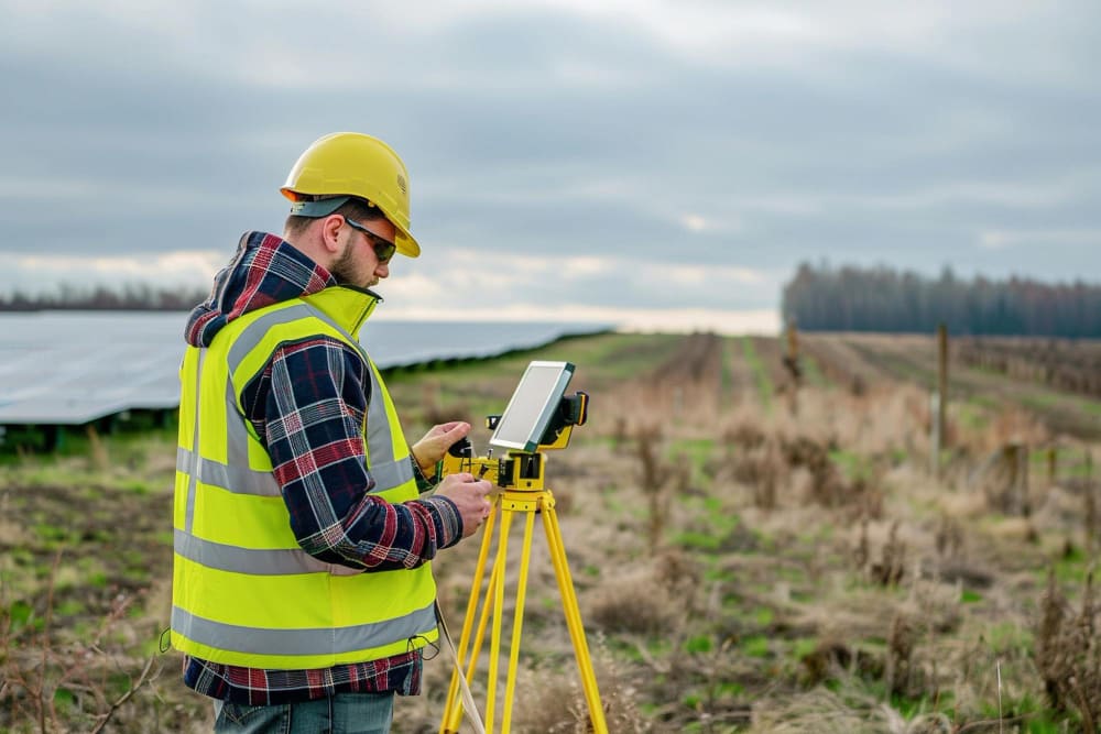
Depth sounding and bed relief survey of water bodies with GNSS-referenced echo sounder. Needed for volume, siltation, dredging and water crossings.
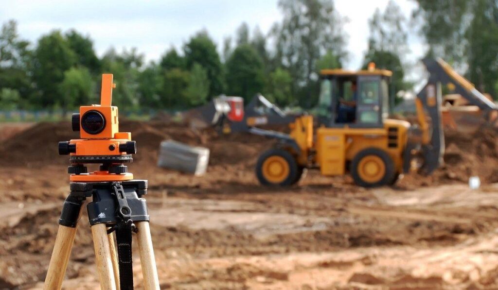
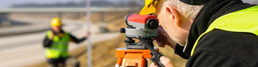
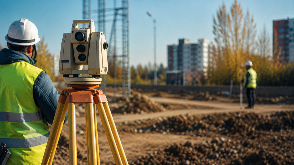
A full cycle of field and desk work: precise site coordinates, topographic plans, setting-out, GPS survey and construction monitoring. Modern total stations…
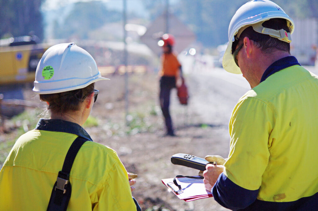
We establish the actual condition of structures, the causes of cracks and deformations, and the technical condition category. A report for reconstruction…
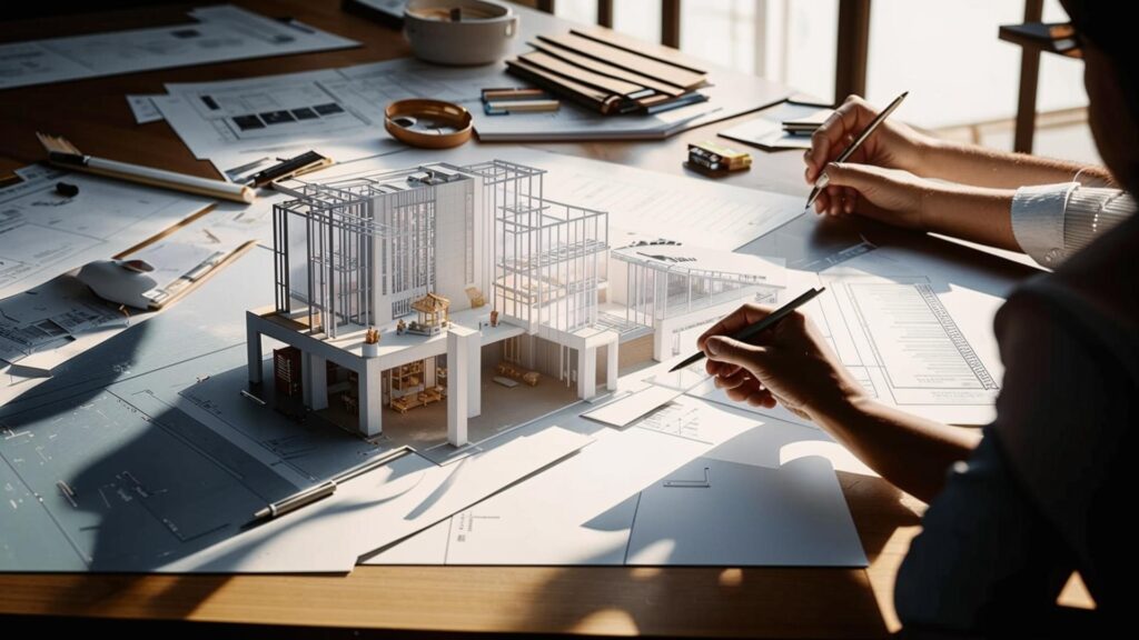
We determine the market value of real estate, land and property. A valuation report for sale, pledge, charter capital contributions and court.
Describe your task — we will define the scope of work and estimate the cost for your site.