
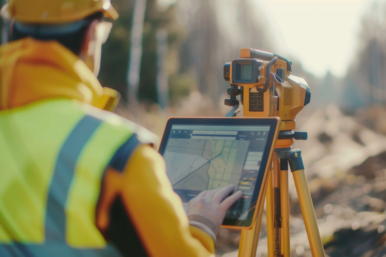
A topographic survey is needed in many cases, but most often — for construction works. The document is created based on the survey results, and thanks to timely verification you will be spared unpleasant situations during construction in the future.
Before ordering topographic works in Tashkent, it is important to understand: this is labor-intensive work that consists of three stages.
Stage 1. Preparation
Obtaining a permit to carry out survey work (aerial survey may be required) or archival data.
Stage 2. Site reconnaissance
Existing utilities are checked. Otherwise, during excavation work there is a risk of hitting utility pipes with the excavator bucket and creating a dangerous situation.
Stage 3. Office processing and approval
The obtained data are plotted on the plan and approved with state authorities. After that a technical report is drawn up, supplemented with a set of documents.
A topographic survey in Tashkent is impossible without professional equipment, and only experienced specialists can successfully carry out the whole procedure. Beware of amateurs: at a reduced price they may produce a plan with gross errors, leading to financial losses in the future.