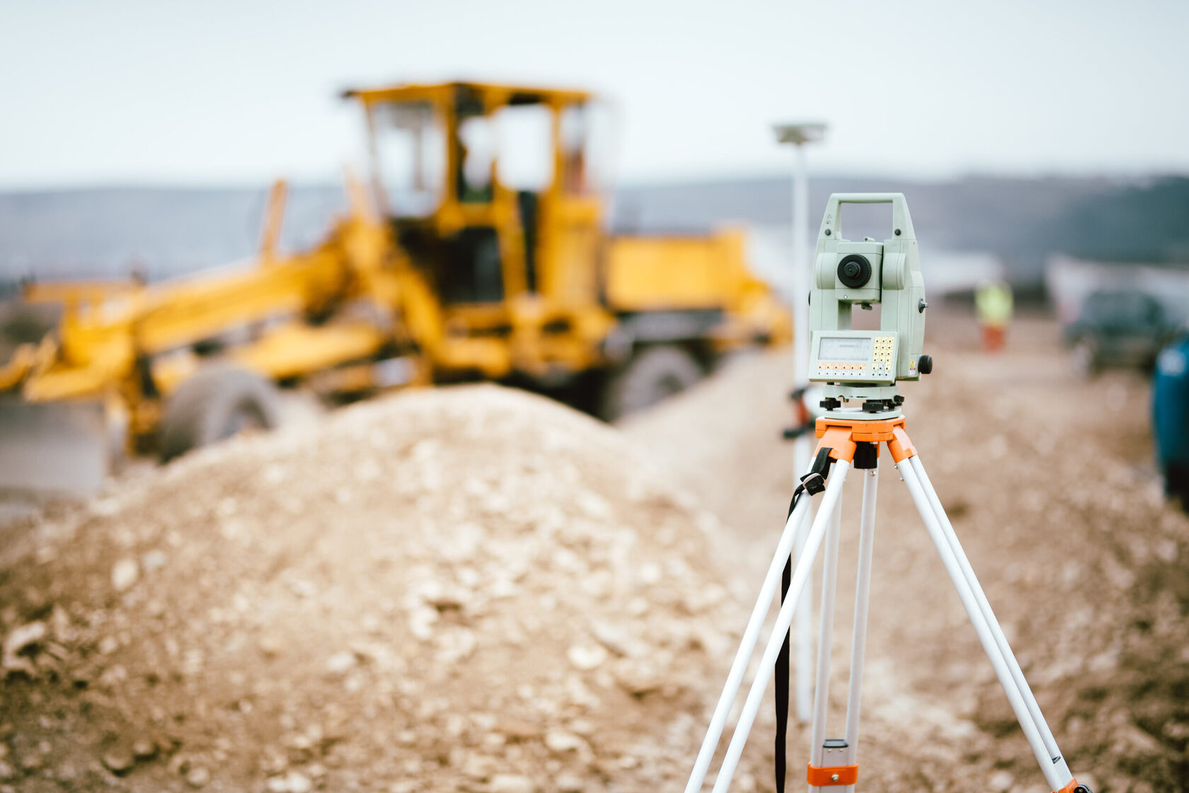
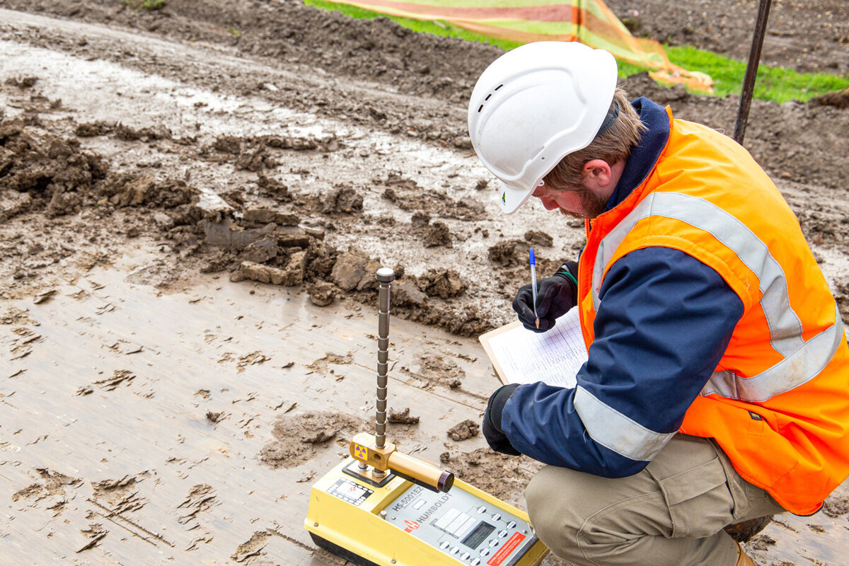
We calculate cut and fill volumes from before/after surveys. Gives a verifiable figure for interim certificates, contractor disputes and haulage control.
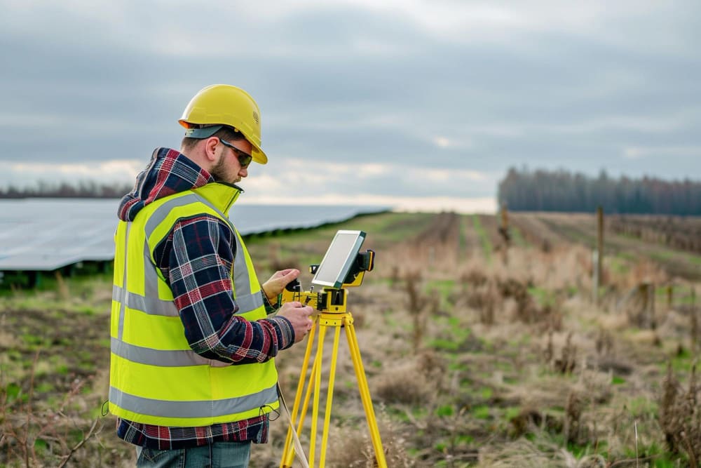
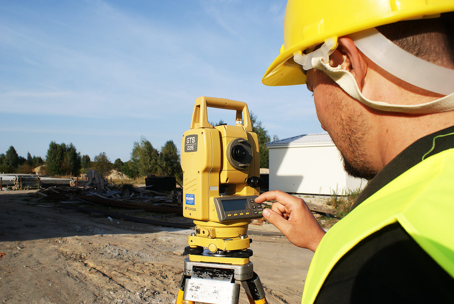
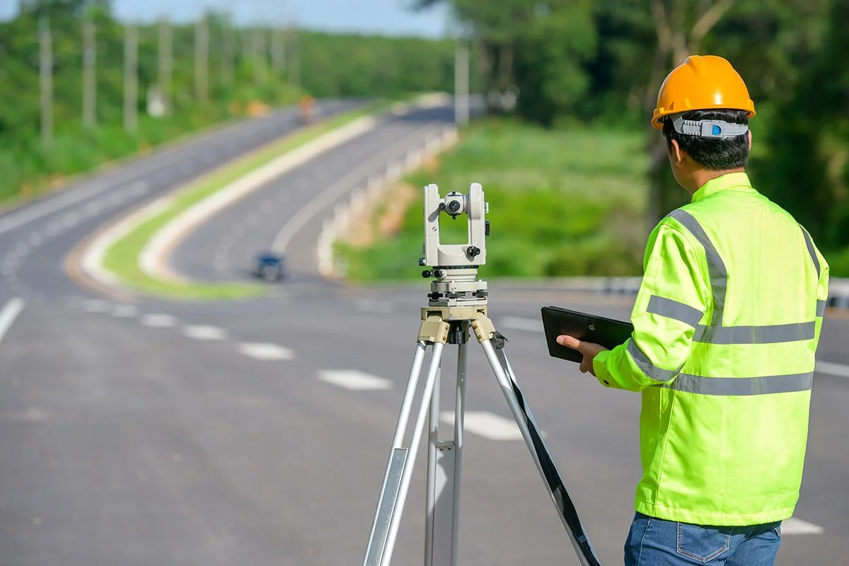
Planimetric and height survey with total station and GNSS: control network, coordinates, elevations. The basis for design, cadastre and construction control.
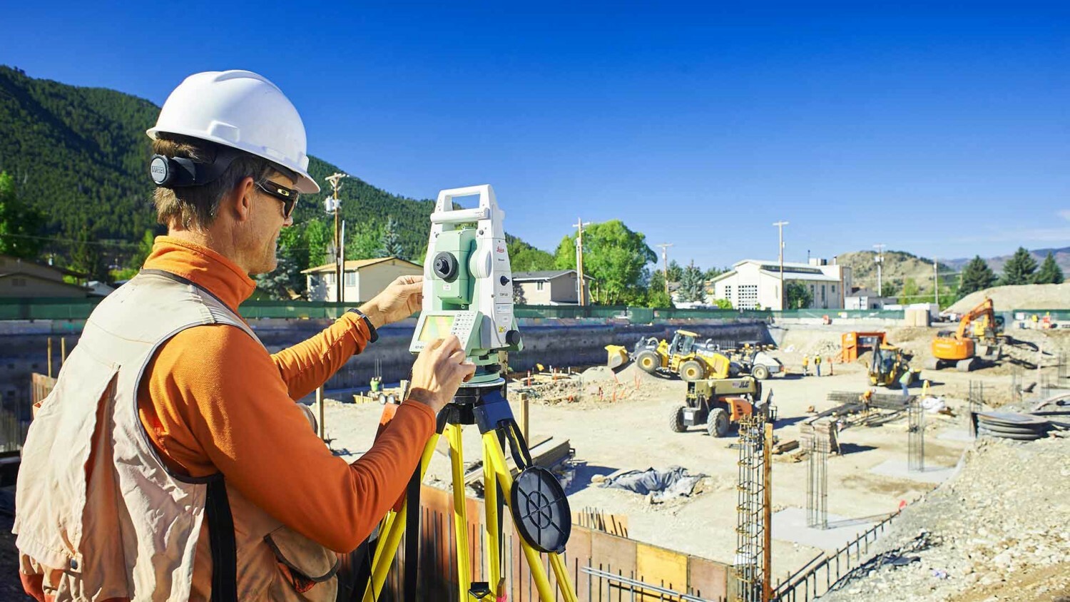
We transfer design points, axes and boundaries from the drawing to the ground and fix them with markers. Deliverable — a setting-out report and a coordinate layout.
We locate underground networks and their depth with a cable locator and plot them on the plan. Protects cables and pipes from damage during excavation.